
Zemi Valley
A flat and easy trail on the edge of Göreme makes for an easy beginner walk.
Zemi Valley: Trail Summary
Type: One-way or out-and-back, from Göreme to a main road between Ortahisar and Uchisar.
Length: 6km
Difficulty: Easy
Time: 2.5h. I didn’t walk the entire length of this trail, instead, I set out to walk for about 40 minutes in one direction and then turned back.
Start: Muze Cd, Goreme (38°38'35.5"N 34°50'16.4"E)
End: Nevsehir Urgup Yolu / D302 road (38°36'28.1"N 34°48'37.7"E)

Trailhead to Zemi Valley from Goreme.

The start of the trail is a wide dirt track.

The start of the trail is heavily fenced.

Some side trails to explore caves.

The trail is well marked with directions and distance.

The wide dirt track turns into a narrow trail. From here there are no more private properties or fencing.

Trails that look steep or have sudden inclines are side trails and not the main trail.

However, side trails will give you better views over the valley like this.

At this point stick to the trail, do not cross the bridge.

After passing the bridge there is a section to crawl under or climb over.

Visiting in Spring, you risk the valley floor being quite wet.

At this point of the trail, it was too wet, so I turned around and returned.

The detour to El Nazar Church

From El Nazar Church you have nice views over Zemi Valley.
Zemi Valley
The trailhead for Zemi Valley can be found a short walk out of Göreme along the main road towards the Göreme Open-Air Museum.
The trailhead and the entire trail is well sign-posted with regular information about the distance left to cover and the occasional map.
This is a relatively easy trail that follows a small stream and so involves very little incline. However, because it follows a stream it can be muddy/flooded, which is what I encountered on my walk. Because you are walking through the valley floor, the trail is very sheltered by trees, and depending on the time of day, shaded by the rising rock on either side.
The first part of the trail involves walking along a dirt track which is lined by quite a few private properties. Because of this, there is a lot of heavy fencing along the trail which means the views aren’t great, there isn’t much to explore, and you will encounter a lot of barking guard dogs as you pass by. However, after a short while, you come off this track and continue along a dirt path into the trees and it becomes a more pleasant experience.
There are a couple of other paths that veer off the main path, often to take you to a cave, but if you are ever in doubt, keep to the flattest path and keep to the small stream lined with greenery.
Loop: Rather than make this an out-and-back, or one-way route, you can combine Zemi Valley trail with Rocket Valley trail and form a loop. The Rocket Valley trail is less sheltered and not under the cover greenery.
Detours: Towards the start of the trail you will see a sign for El Nazar Church on your left. This is a short uphill walk to a church which is sometimes open (when I visited it was locked). From the church, you also have great views across Göreme and the surrounding valleys. It is also a nice quiet spot for sunset/sunrise. This detour will take about 10 minutes each way.
El Nazar ChurchAlso see hiking guides for Pigeon Valley & Love Valley Loop and Meskendier-Red-Rose-Sword Valley Loop, or more information about Göreme, Cappadocia.
A quick note about hiking:
Göreme is made up of many valleys. You will be hiking through them or along the ridges, either way you will be very exposed for the majority of the trails. It is therefore important that you are well prepared for the weather.
There are also minimal facilities available, particularly if you travel outside of peak tourist season. Access to water, food, facilities or support is heavily reliant on locals opening up their homes or setting up stalls. It is therefore not a guarantee that a cafe marked on the map will be stocked or open.
Finally, routes are not always well marked and paths are not always clear (I would avoid relying on spray-painted arrows as they are often contradictory). As you are walking through valley floors, paths that are there in the Summer may become rivers in the Spring. Make sure you have a form of navigation available and back-up navigation if relying on your phone.
Cappadocia hiking packing list:
Water (plenty!) I use a water bottle with a LifeStraw so that I can filter water should I come across a stream or water tap. However, Göreme is pretty dry, so I wouldn’t rely on natural water sources.
Sun protection - definitely a sun hat. Suncream. Lip balm. Sunglasses. Shawl/cover for shoulders.
Navigation - I recommend Maps.Me which is a free offline navigation map that shows trail paths (unlike Google Maps). There are other paid options which may be better like AllTrails.
Snacks - there are nearly no food options available, even when cafes and stalls are open they mostly sell drinks.
Portable charger
Basic first aid
Torch - if hiking early morning or in the evening
Cash - in case you need to take public transport or taxi. They will not accept card.
Need to knows
While this is a flat and ‘easy’ trail, there are some sections that require ducking under or climbing over rocks and tree branches. If you visit in the Spring, the valley floor may be wet, in which case you will also need to walk along planks of wood.
R’s take
A pretty easy and unremarkable walk. It is quite sheltered by the tall valley walls and trees, so shaded, and very quiet which I found a little spooky at times. I prefer being able to see impressive landscapes, while this was mostly a leafy walk along the valley floor.
Zemi Valley trailhead from Göreme
El Nazar Church
View over Zemi Valley from El Nazar Church
Start of Zemi Valley trail

Start of Zemi Valley trail
Start of Zemi Valley trail has many private properties which are heavily fenced.
Side paths leading to cave homes.

Main trail once you leave the dirt track road.
Signage throughout Zemi Valley.
The path to the right over the bridge is a detour that takes you up a very steep trail.
Steep trail that detours off the main trail.
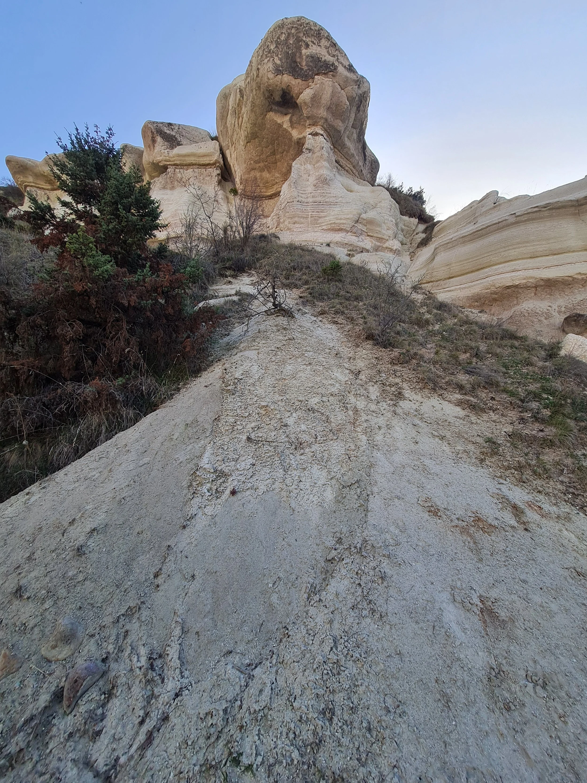
Very steep trail detour.
View over Zemi Valley from a detour trail.
Main trail. There are some sections that require crawling under or climbing over rocks.

Wet valley ground is overlaid with logs.
Wet valley ground is overlaid with logs.